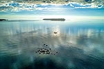
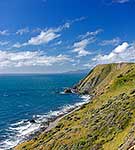
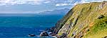
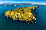
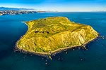
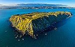
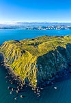
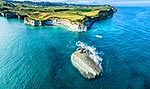
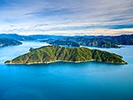
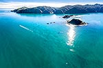
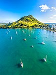
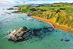
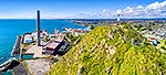
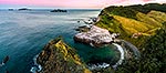
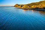
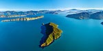
Mana Island. Aerial view over North Bluff. Shingle Point left. Looking south to Ohau Point and Cape Terawhiti, with Cook Strait and the South Island far right. Panorama, Mana Island, Porirua City District, Wellington Region, New Zealand (NZ), stock photo.
These images are protected by copyright, but we license them to suit your needs. Click
'quick quote' to learn more...
Mana Island. Aerial view over North Bluff. Shingle Point left. Looking south to Ohau Point and Cape Terawhiti, with Cook Strait and the South Island far right. Panorama, Mana Island, Porirua City District, Wellington Region, New Zealand (NZ) Stock Photo
Mana Island. Aerial view over North Bluff. Shingle Point left. Looking south to Ohau Point and Cape Terawhiti, with Cook Strait and the South Island far right. Panorama, Mana Island, Porirua City District, Wellington Region, New Zealand (NZ)
 stock photo.")


")