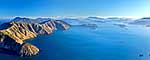
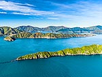
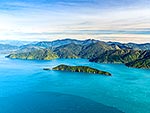
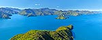
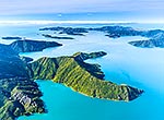
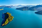
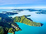
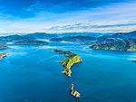
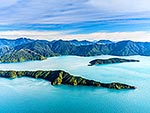
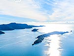
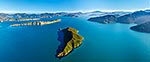
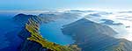
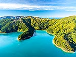
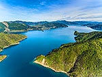
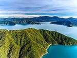
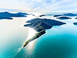
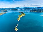
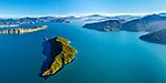
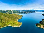
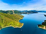
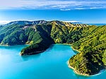
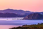
Cape Koamaru and Ngaturuturu, Arapaoa (Arapawa) Island. The Brothers Islands and Cook Strait behind. Wellington Coast and Mana Island in distance. Queen Charlotte Sound. Aerial view, Marlborough Sounds, Marlborough District, Marlborough Region, New Zealand (NZ), stock photo.
These images are protected by copyright, but we license them to suit your needs. Click
'quick quote' to learn more...
Cape Koamaru and Ngaturuturu, Arapaoa (Arapawa) Island. The Brothers Islands and Cook Strait behind. Wellington Coast and Mana Island in distance. Queen Charlotte Sound. Aerial view, Marlborough Sounds, Marlborough District, Marlborough Region, New Zealand (NZ) Stock Photo
Cape Koamaru and Ngaturuturu, Arapaoa (Arapawa) Island. The Brothers Islands and Cook Strait behind. Wellington Coast and Mana Island in distance. Queen Charlotte Sound. Aerial view, Marlborough Sounds, Marlborough District, Marlborough Region, New Zealand (NZ)
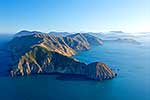
 Island. The Brothers Islands and Cook Strait behind. Wellington Coast and Mana Island in distance. Queen Charlotte Sound. Aerial view, Marlborough Sounds, Marlborough District, Marlborough Region, New Zealand (NZ) stock photo.")
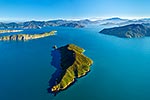
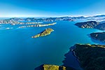
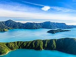
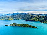
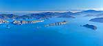
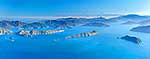
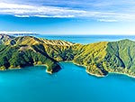
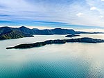
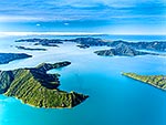


 Island. The Brothers Islands and Cook Strait behind. Wellington Coast and Mana Island in distance. Queen Charlotte Sound. Aerial view, Marlborough Sounds, Marlborough District, Marlborough Region, New Zealand (NZ)")