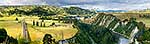
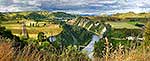
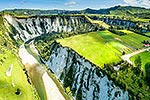
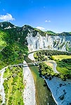
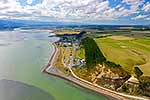
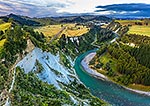
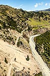
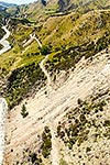
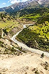
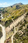
Rangitikei River and 100m high sandstone cliffs with rural farmland and Mangaweka township beyond. Mangarere Road centre, Pouwhakarua Conservation Area below. Aerial view, Mangaweka, Manawatu District, Manawatu-Wanganui Region, New Zealand (NZ), stock photo.
These images are protected by copyright, but we license them to suit your needs. Click
'quick quote' to learn more...
Rangitikei River and 100m high sandstone cliffs with rural farmland and Mangaweka township beyond. Mangarere Road centre, Pouwhakarua Conservation Area below. Aerial view, Mangaweka, Manawatu District, Manawatu-Wanganui Region, New Zealand (NZ) Stock Photo
Rangitikei River and 100m high sandstone cliffs with rural farmland and Mangaweka township beyond. Mangarere Road centre, Pouwhakarua Conservation Area below. Aerial view, Mangaweka, Manawatu District, Manawatu-Wanganui Region, New Zealand (NZ)
 stock photo.")


")