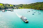
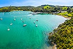
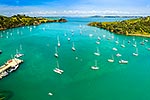
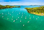
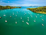
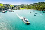
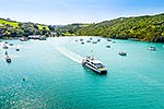
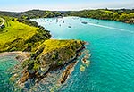
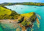
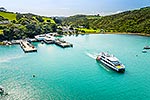
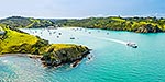
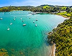
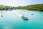
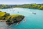
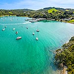
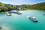
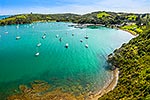
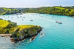
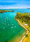
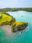
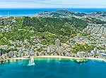
Matiatia Bay, looking out towards Motutapu and Rangitoto Islands, between Te Whetumatarau Point (left) and Matietie Historic Reserve (right). Aerial view, Waiheke Island, Auckland City District, Auckland Region, New Zealand (NZ), stock photo.
These images are protected by copyright, but we license them to suit your needs. Click
'quick quote' to learn more...
Matiatia Bay, looking out towards Motutapu and Rangitoto Islands, between Te Whetumatarau Point (left) and Matietie Historic Reserve (right). Aerial view, Waiheke Island, Auckland City District, Auckland Region, New Zealand (NZ) Stock Photo
Matiatia Bay, looking out towards Motutapu and Rangitoto Islands, between Te Whetumatarau Point (left) and Matietie Historic Reserve (right). Aerial view, Waiheke Island, Auckland City District, Auckland Region, New Zealand (NZ)
 and Matietie Historic Reserve (right). Aerial view, Waiheke Island, Auckland City District, Auckland Region, New Zealand (NZ) stock photo.")


 and Matietie Historic Reserve (right). Aerial view, Waiheke Island, Auckland City District, Auckland Region, New Zealand (NZ)")
