
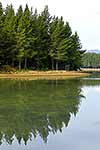
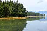
 stock photo.")
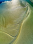
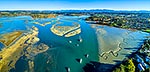
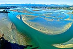
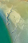
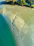
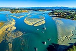
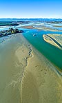
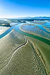
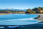
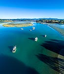
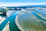
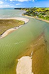
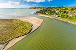
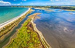
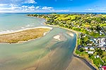
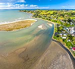
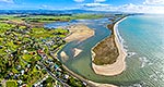
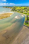
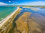
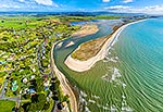
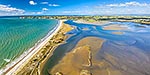
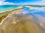
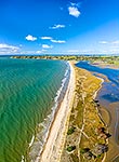
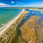
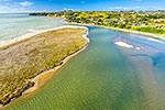
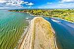
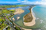
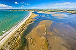
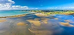
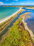
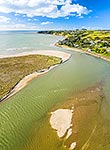
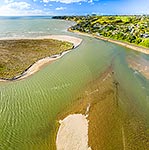
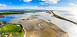
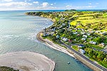
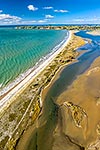
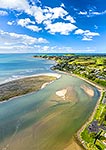
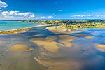
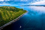
Waimea Inlet estuary, with Mapua, Grossi Point, Rabbit Island and Nelson beyond. Aerial view over sand and mudflats at low tide, Mapua, Tasman District, Tasman Region, New Zealand (NZ), stock photo.
 EMAIL TO FRIEND
- Location:
- Mapua (other locations)
- District:
- Tasman (see districts)
- Region:
- Tasman (see regions)
- Country:
- New Zealand (NZ)
- Notes:
- Very large file (6086 x 9129 pixels native, no interpolation). | Ratio (height:width) 1:0.66
- Photographer:
- Rob Suisted
- Image #:
- 59506OP00
Keywords (advanced)
Related images
Similar images


Random images


")